PROJECT
●
Closed
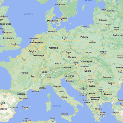
Map-based study of distance, time, resources and cost (How to travel in Europe)
Map-based study of distance, time, resources and cost (How to travel in Europe)
Information
Members:
2
Membership:
Spain(1), Türkiye(1)
Age range:
12
-
15
Subjects of teaching:
Key competences:

